Federal Publications is one of the largest dealers of Canadian
Hydrographic Service nautical charts, sometimes referred to as marine charts,
hydrographic charts, boating maps and depth maps. Below is an index of nautical
charts on paper, or complete a request if you would like us to send you a
paper index.
Alternately,
Charts on CD-ROM are fast becoming a popular choice
for techno-savy boaters.
And don't forget to pick up a copy of
Chart No. 1, the book which explains the
symbols used to describe features on Canadian charts.
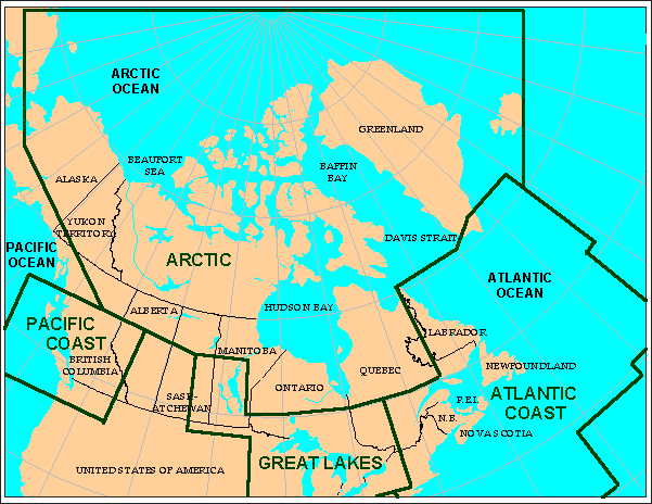
Canadian
Hydrographic Service produces Canadian government charts for "federally
regulated waterways". Areas include the Atlantic, Pacific, and Arctic Ocean
coasts. In central Canada, charts are produced for the Great Lakes and
navigable waterways such as Muskoka/Joe/Rosseau, Lake Nipissing, the
Trent-Severn system, the Ottawa River and the Rideau Canal.
Also
available: Depth maps and charts
(published by commercial publishers) represent the physical terrain of the lake
floor through depth contours and colour shading. These charts indicate hidden
islands, drop-offs and shoals, as well as water depths.
Federal
Publications also carries a wide range of other publications to suit your
interests, including cruising guides, Ports and Richardsons books which are
listed in our Boating section. |